Interactive Maps
Interactive Site Maps help campers visualize your park during their checkout process, improving your booking rate!
What are Interactive Maps?

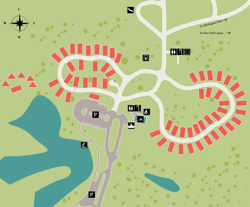
Interactive Maps provide a bird's-eye view of your park, answering common questions about site locations before they arise. These maps allow campers to see available sites in real-time and book their preferred spot, especially when used with the Site Lock feature.
Is my Campground Eligible for an Interactive Map?
If your park is on the RoverPass Reservation Management System, you're eligible! Even parks that don’t offer site selection can benefit from adding a map — and it’s free!
Please keep in mind that maps will be required for campgrounds that have the site selection enabled and/or collect fees for choosing a site.
How Can I Get My Campgrounds Interactive Map Created?
If you have a park map, our Customer Service team can start building your Interactive Map right away. If not, an image from Google Earth or a hand-drawn sketch will do.
Please check out this article here to contact our Customer Service team about getting started on your Interactive Map.
What does an Interactive Map look like from the Campers view during the checkout process?
Interested in how RoverPass can help your campground boost profits, save time, and increase occupancy? Shoot us an email at sales@roverpass.com or schedule a demo here.